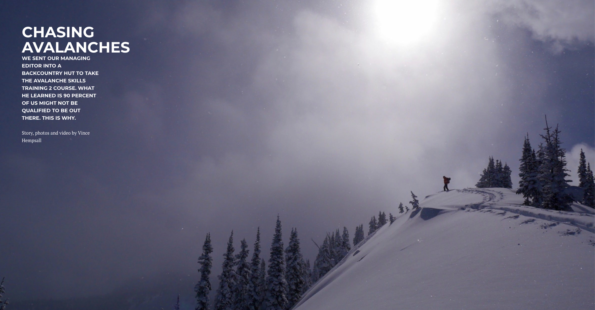
Chasing Avalanches

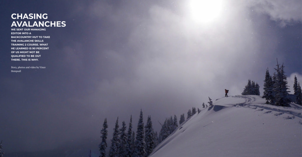
A friend of mine was caught in an avalanche three days ago but luckily managed to escape it by grabbing onto a tree. Another friend avoided being launched off a cliff a few months ago during an avalanche. He also grabbed onto a tree and saved himself. This seems to be happening with more frequency lately and I don’t know if it’s because more of us are getting into the backcountry or if we’re taking greater chances. What I do know is a lot of us aren’t qualified to be back there.

The story I did for Mountain Culture Group about my AST 2 course at the Lequereux Outpost in the Valhallas taught me that the majority of people in the backcountry don’t have their AST 2 training. Essentially they know how to use their beacon, shovel and probe and that’s it.
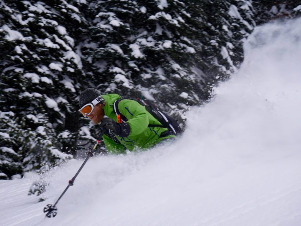
This is how my story starts:

WHEN I SAW THE CRACK splinter out from the tip of my ski like a bolt of grey lightning ripping through a perfect white canvas, I was elated. I had trained the past five days for this moment and now, finally, I had caused an avalanche.

Conditions were ripe. It had snowed about a half metre in the past week and the temperature had suddenly warmed from a constant -15°C to near zero overnight. We were being cautious but my classmate and I still wanted to see what it was like to kick off a surface slab layer. We chose a 30-metre-high steep convex roll with a well-defined escape route and a wide runout path that was clear of any trees or obstacles. I made sure he had his eyes on me and then dropped in, ski cutting the top of the slope. Within seconds a 20-centimetre-deep slab sheared off under my downhill ski and shot left while I escaped right to safe terrain. The crown made a perfect heart-shaped pattern down and around an exposed rock for 20 metres and the debris ran for 25 metres. I turned back from the safe zone to look at my handiwork and then whooped with happiness.

In most backcountry scenarios, causing an avalanche is something you want to avoid. In this case, however, I was nearing the end of an Avalanche Skills Training Level Two course and, because we were filled with knowledge and had monitored the conditions religiously, we wanted to experience practical application of the lessons we had learned.

To read the article in its entirety, and see the corresponding photos and video, visit: mountainculturegroup.com/avalanche-skills-training-2-backcountry-hut.

Two Climbers Circumnavigate the 13 Peaks of Mulvey Basin in a Day

Dave Lussier photo

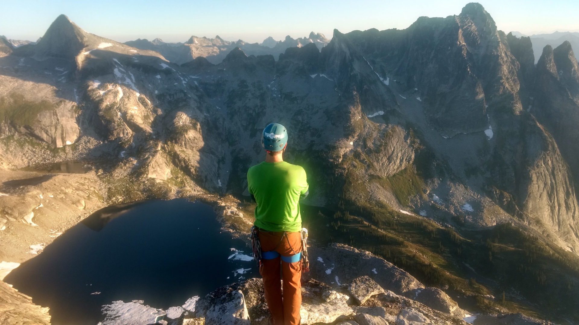
On August 22, 2017, David Lussier and I successfully completed a circumnavigation of Mulvey Basin in Valhalla Provincial Park, bagging all 13 peaks. I wrote a story about it for Mountain Culture Group. This is how it starts:

The headlamp beam glared off the white surface of the golf ball, forcing me to squint to make out the black cursive lettering: “Miracle Flight+ 2”. Appropriate considering we’d need some good fortune to complete the mission we had just embarked on. I placed the ball back on the rock where I found it beside its twin and a golf club and finished hiking the 20 metres to the summit of Mount Dag, one of the tallest peaks in the Valhalla mountain range.

It goes without saying a nine iron and two golf balls are strange items to find on top of any mountain peak. But the fact it was 2:30 in the morning and my climbing partner, and mountain guide, David Lussier and I were embarking on a quest to traverse 13 peaks of the Mulvey Basin in under 24 hours, made the discovery even more surreal.

This was our second attempt of this traverse in as many years and the forecast was perfect: clear skies with zero percent chance of precipitation. Then again, good weather was predicted for our first attempt in 2016 and that ended with us cowering under a boulder during a freak electrical storm at 8,500 feet.

As David signed the register on the summit of Dag, I continued thinking of my bizarre discovery. Why a nine iron? Why not a driver? Surely that would be a lot more satisfying. I imagined teeing up and driving a ball across the two-kilometre-wide span that separated us and Gladsheim Peak, the final destination of our mission. Suddenly all thoughts of golf vanished as David asked, “You ready?” He had replaced the register in its waterproof canister, slotted it back in the stone cairn and was looking at me expectantly. It was time to descend from the summit, collect our bivouac gear and start the 12-kilometre circumnavigation of Mulvey Basin: 13 peaks, eight of which we’d have to rock climb, and over 2,300 metres of elevation gain. At that moment, I wished I could’ve just soared over to Gladsheim as well.

To read the rest of the adventure tale, visit mountainculturegroup.com/mulvey-basin-circumnavigation-in-a-day.

BASE Jumping in Twin Falls, Idaho

Sometimes the story behind the story can be just as interesting. In this case I was researching an article for Kootenay Mountain Culture magazine about tandem BASE jumping (download the PDF here: KMC BASE JUMP ARTICLE) and, when I finally lined up a jump with Sean Chuma, owner of Tandem BASE in Twin Falls, Idaho, I was a bit concerned about how I was going to tell my wife-to-be.

“So, uh, honey, I’ve been assigned a story for KMC and it involves me participating in one of the most dangerous sports on earth. Hope you don’t mind?” To my delight, not only did she support me in the endeavour, she said she wanted to experience it too!

So after she finished work on a friday, we drove 14 hours straight from our home in Nelson, British Columbia and arrived in Twin Falls, Idaho at 4:00 am, three hours before we were to meet “Chuma” (as he’s called by his friends) and hurl our bodies off the Perrine Bridge.

The alarm went off at 6am and I immediately brewed up a few of those in-room cups of drip coffee and then hit the in-house café for double espressos. When it came time to drive to the bridge for our rendezvous I was so jacked from lack of sleep, adrenaline and 4 times the daily recommended amount of caffeine I couldn’t even drive. I was shaking like a hypothermia victim.

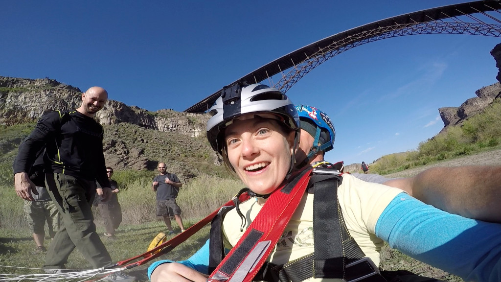
Eventually we met Chuma, he took us through all the equipment and helped calm our nerves a bit and then I watched as Marley walked out on to the bridge. (She wanted to go first because she figured she’d be too scared after watching me jump.) I have to admit I was a bit scared for her as she crawled over the safety railing on the bridge but I kept the video camera trained and then watched in admiration and awe as she leapt into space.

And here’s what it looked like from the vantage point of the GoPro camera strapped to her wrist. (The facial cues are priceless.)


What isn’t mentioned in the article, or recorded on the video, is the hike out of the canyon. You can always get a boat to pick you up but we decided to take the energetic (and free) route and climb. What we didn’t realize is we did actually have to climb at one point – some 5.4 moves up a tree and on a cliff face. But Marley said she was so pumped on adrenaline not only did she practically run out of the canyon but she talked a mile-a-minute the entire way. Twenty minutes later I met her on the bridge and then it was my turn.

My experience is recorded in the article that appeared in the 2015/16 Winter Issue of Kootenay Mountain Culture magazine and you can see the PDF of that article here:

KMC BASE JUMP ARTICLE

And finally, here’s the GoPro footage of my own BASE jumping experience off the Perrine Bridge, with Sean Chuma.

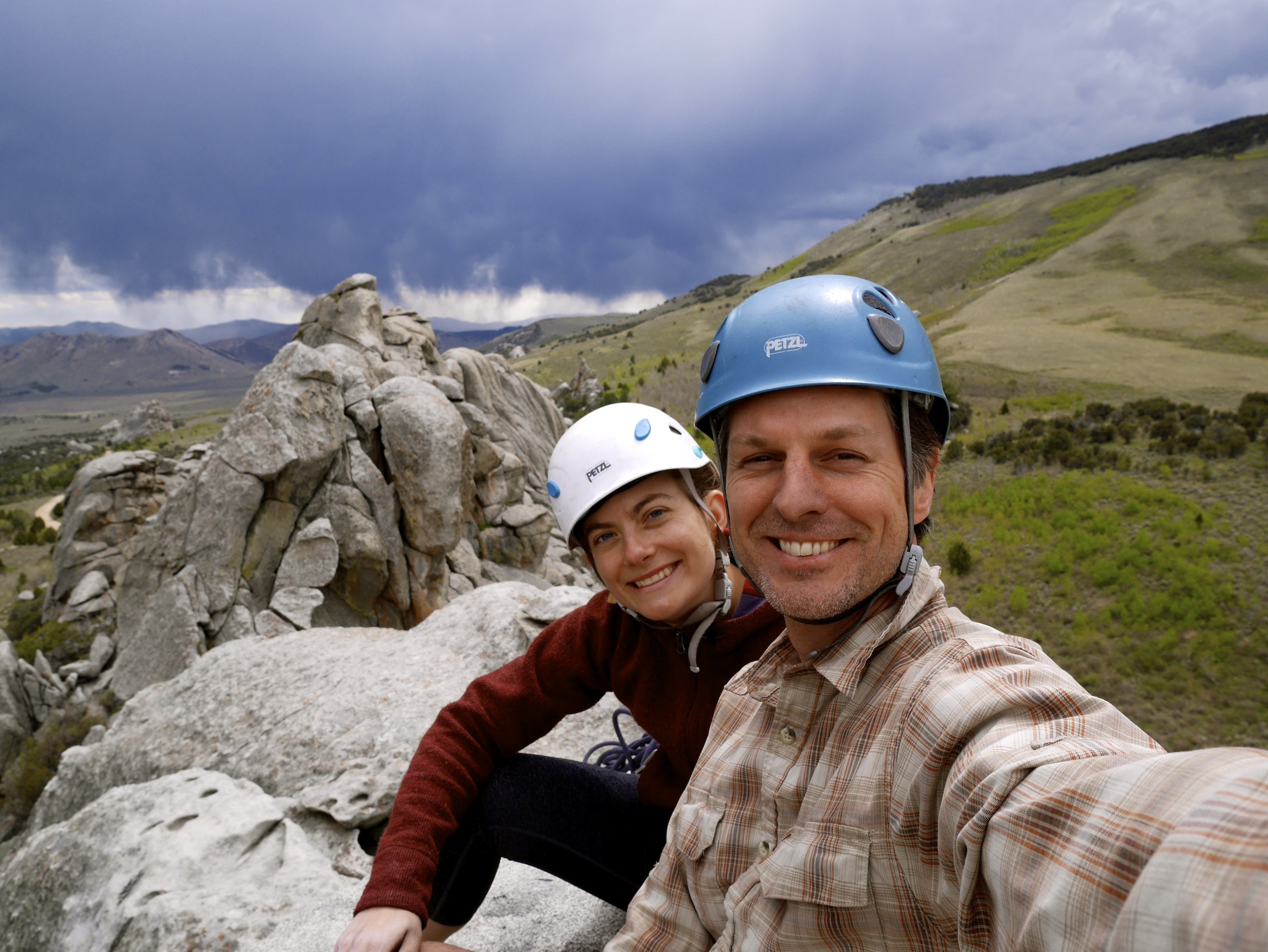
A few hours after our jumps Marley and I went back to our hotel room and slept like the dead. When we finally awoke we decided to continue the adventure and drive further south to the famous rock climbing area City of Rocks where we encountered a storm at the top of a cliff. But that’s another story.

A Review of The New Kokanee Mountain Zipline

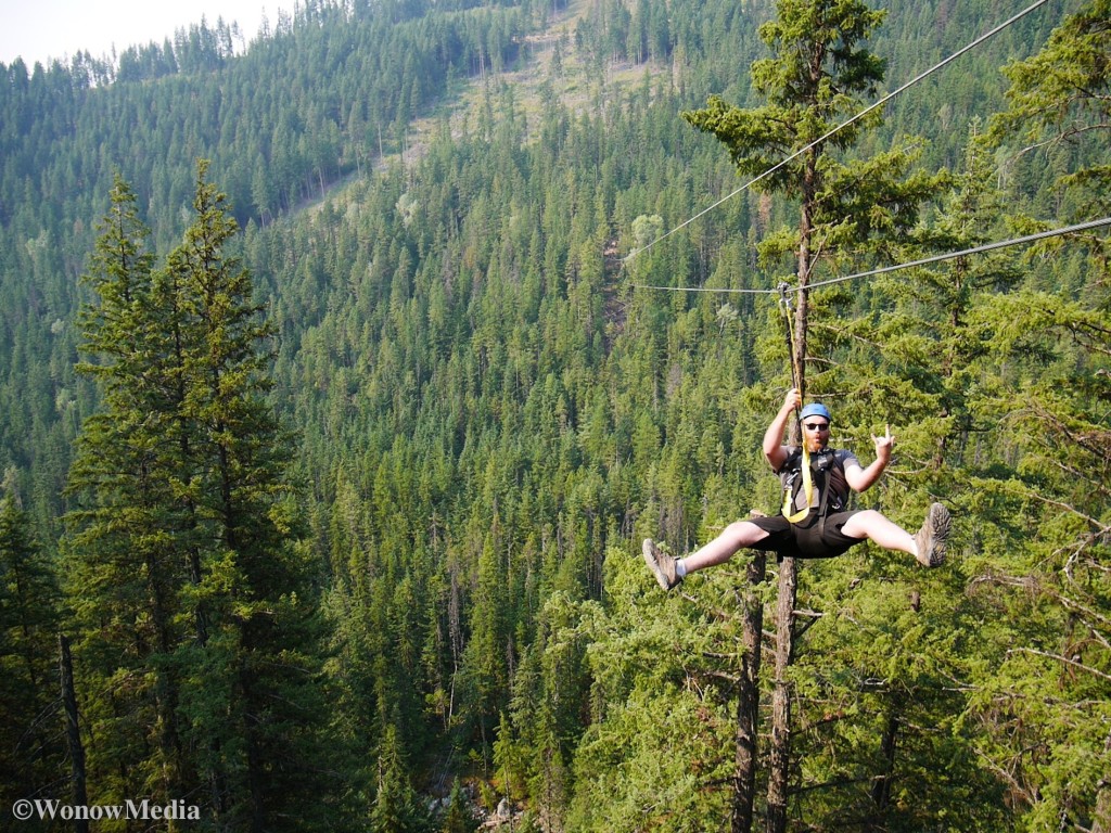
“As a rock climber I spend a lot of time dangling on ropes and enjoying scenery from up high so I have to admit I didn’t think the new Kokanee Mountain Zipline near Nelson, BC, was going to be that exciting. I was wrong.

No matter what thrilling endeavour you’ve done in the Kootenays, nothing totally prepares you for the “wow” factor that is ziplining 90 metres above Kokanee Creek. The views alone are worth the $89 price of admission: the rocky creek far below snakes it’s way through an old growth fir forest while rays of sunlight pierce the clouds and illuminate the west arm of Kootenay Lake so it glows a silvery blue, a perfect contrast to the green mountains above.”

So begins my article for the Kootenay Mountain Culture Group website about the new Kokanee Mountain Zipline tourist attraction located 20 minutes from my home in Nelson, BC. To read the story in its entirety and to find out what its like to careen down a 760-metre long steel cable at 90-kilometres an hour, log on to the Mountain Culture Group website.

What’s It Like Helibiking Revelstoke, BC?

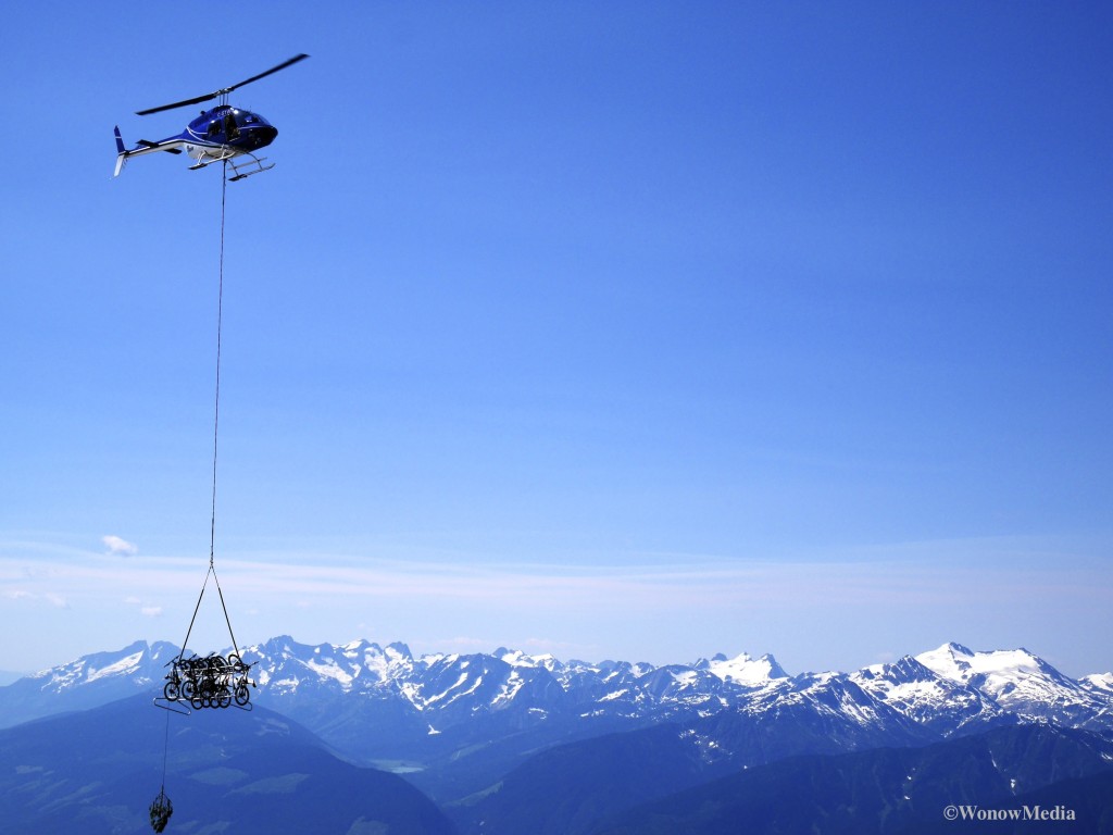
“Leonardo da Vinci sketched the first helicopter design in the late 1400s. Three hundred years later Comte Mede de Sivrac of France invented the celerifere, the precursor to the modern-day bicycle. Then, in July 2015, a Revelstoke-based company threw the two vehicles together and brought heli-biking to the masses.

Selkirk-Tangiers has spent almost 40 years taking people heli-skiing and boarding in the West Kootenay but this month marks its first foray into summer offerings: from July to September the company has access to a 50,000-acre tenure (its winter tenure is over 500,000) in which to guide its new heli-biking excursions.

Granted, air-lifting bicycles to the top of a mountain via helicopter is an activity that’s been around for years but it usually involves tossing bikes into a heap, lashing them together and then long-lining them to the summit. After reaching the top, you then replace all the bike parts that broke mid-flight.”

So begins my article for the Kootenay Mountain Culture Group website about the new tourist attraction that’s being offered by Selkirk-Tangiers: helibiking Revelstoke, specifically 2,600-metre-high Mount Cartier, located just outside of town. To read the story in its entirety and to find out what its like to careen down a 760-metre long steel cable at 90-kilometres an hour, log on to the Mountain Culture Group website.

Epic Bobsled Crash…and Recovery

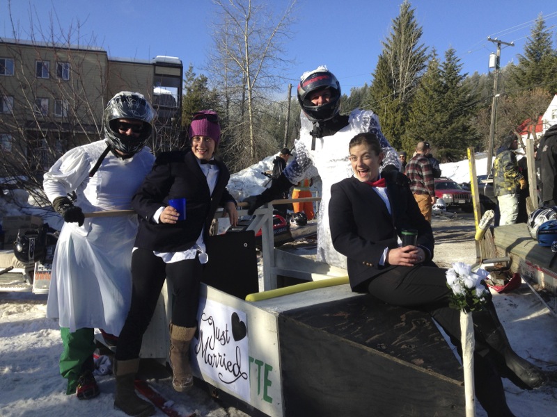
The videos below show our bobsled team from Nelson, British Columbia, wiping out and then recovering at the Rossland Winter Carnival on Jan 31, 2015. Some footage was taken by Rossland mountain guide and our buddy Bob Sawyer and others were random folks who shared their vids with us after the festival.

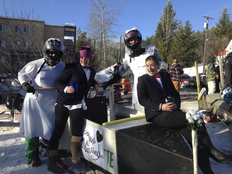
My fiancé Marley and I, as well as our friends Sarah Stephenson and Steven Thompson are getting married this year and so we decided to do this race in wedding attire. And of course, to make it more fun, we went in drag. So in this video Steve and I are wearing the dresses and at the start of the race were the ones running to get the sled moving. Marley and Sarah are in the sled steering and operating the brakes. But because of the icy course, it was next to impossible to steer easily and so at the 2nd corner of our first lap (out of two) there was an over-correction that sent us into the right bank and so close to bystanders! Steve and I flew off the back of the sled and went sliding down the course.

Thankfully Sarah got the sled under control just as we finished our wipeouts. I jumped up and without really thinking ran and hopped back on the sled again. The same thing happened to Steve further down the course.

We definitely didn’t make the fastest time that day but I’d argue we had the most spectacular bobsled crash!

Thanks to all those who filmed this experience and thanks also to our buddies Joe and Graham who built the sled. (We promise we’ll fix the broken skis soon guys!)

Rangers, Raptors & Revolvers – Busted in the Bend

A few months ago I wrote a blog about a magical land just over the border from Rossland where you can climb steep, limestone in a solar oven in winter. The area’s called China Bend and it features tufa-pinching classics in a south-facing setting overlooking the Columbia River.

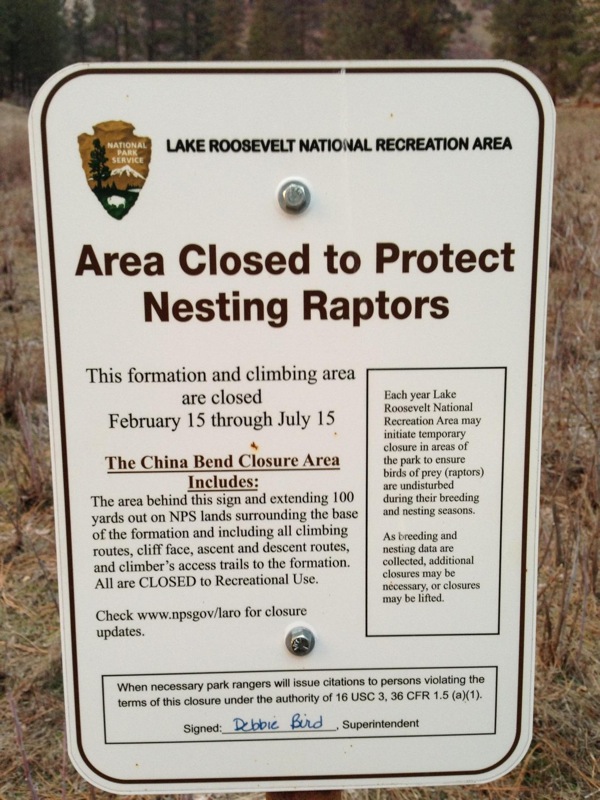
What it also offers is a nesting sanctuary for raptors, which is why the US Park Service closes the cliffs from mid-February to mid-July.

Now, I support birds of prey and their evident need for privacy but I also like mid-winter climbing in a t-shirt, especially when the ski season sucks. And, frankly, when you hear “mid-February” isn’t there a bit of wiggle room there? Like, say, February 14th at midnight to February 16th at midnight? The answer, according to a gun-toting US Park Ranger, is a definitive no.

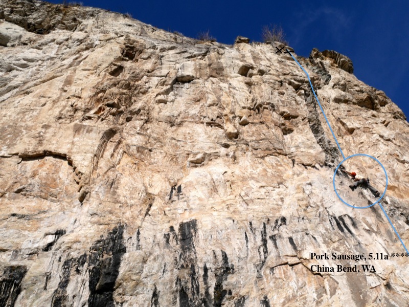
Five Nelson climbers decided to take advantage of an unseasonably sunny Sunday (February 15) and drive the 40 minutes south of Rossland to enjoy some early-season struggles with the 5.11 warm-ups at China Bend. We completely ignored the official looking sign at the pull out and put up ropes on the classic 5.11a “Pork Sausage” and the fun 5.11c “Where’s My Hero.”

Cam Shute on Pork Sausage – right before the Pigs busted us!

Cam Shute on Pork Sausage – right before the Pigs busted us!

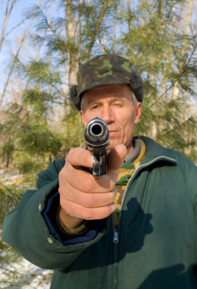
The latter climb is aptly named as 1.5 hours into our fun we were looking for a hero to rescue us from a park ranger packing a handgun, a taser gun and a canister of mace. (Evidently the wildlife are bad-ass in the USA.)

Thankfully ranger Matt Smith was a nice guy and allowed us to take down our ropes before escorting us away from the cliff and back to our car. He decided to forego the $125 fine (each!) we should have received for disobeying the raptor closure but he did run our driver’s licenses through his SUV’s dashboard computer. “Good news – you’re not wanted by Interpol,” he later told us. (We never did learn if he was joking or not.)

Interestingly, when we asked what raptors nested in the area, Matt had no idea. I guess they’re not wanted by Interpol either.

So let this be a lesson to all those Canuck climbers wanting to visit China Bend – the raptor closure is, definitely, Feb 15 to July 15 and there are Park Rangers there to enforce it.

If you’re looking for some alternative Washington areas that aren’t far from the border, consider Metaline Falls and Marcus (both featured in Marty Bland’s Inland Northwest Rockclimbs guide) or Onion Creek, which is featured on this site. The latter tends to be more shady and damp than the others though so it’s probably not a great mid-winter destination.

For more information about China Bend, pick up a copy of Marty’s guidebook mentioned above or check out November’s blog post.

US Park Ranger Matt Smith escorts us away from China Bend.

US Park Ranger Matt Smith escorts us away from China Bend.

Anatomy of an Epic

It seems only fitting that the day I celebrated my 37th year on earth was also the day I learned some of life’s most valuable lessons about surviving on said earth. For example: pay attention to the sky.

We were 750 feet up a rock climbing route called “Lusting After Women” on Mt Gimli in British Columbia’s Valhalla Mountain Range and we were gawking at the beautiful sunset – not because we cared one iota about the stunning colours but because we still had 300 feet to the summit. “What the hell time is it?!” I said to my climbing partner. We had no idea but it was obvious what was supposed to be a six-hour romp up an easy route had quickly gone sideways thanks to cold hands, dodgy route finding and challenging rope management. We had left behind watches and ignored the sun’s position all day. Now we were faced with climbing the rest of this mountain in the dark. And we had only one headlamp between us.

Which brings me to the second valuable lesson about survival: be prepared. As cliché as this boy scout axiom is, it’s true. Whether you’re driving over the Salmo-Creston pass or climbing in remote wilderness areas, bring a source of light. No, not a Bic. (Although that comes in handy too.) You want a real source of luminescence like a flashlight or headlamp and fresh batteries. Petzl has a tiny, yet powerful, emergency headlamp that retails for about $30 and will easily fit into your first aid kit so you’ll never forget one again. (You did bring your first aid kit right?) Check out a review of the Petzl e+Lite.

A few other items that you want to carry with you at all times when rock climbing in the Valhalla Mtn range are: gloves, a warm, waterproof jacket, a toque, sunscreen, and an emergency foil blanket. Oh yeah, and carry lots of water. No matter how heavy you think two litres of water is, hump it up the cliff with you. That day on Gimli, we ran out of water on the summit and faced a grueling 4-hour descent back to the car feeling lightheaded from dehydration. We were so punch drunk by the end of the descent we were literally bouncing off trees before falling face-first into the stream near the car-park.

Upon returning home 16 hours after we had set out, I learned another valuable lesson: always tell someone you trust about your trip and have a back-up plan in case things go awry. In my case the RCMP had been called (keep in mind we were 7 hours overdue) and a buddy of ours was loaded up and prepared to drive to the trailhead to make sure we weren’t mauled by a bear or something. Now that’s friendship! Is there someone willing to do that for you? Consider it because the RCMP won’t dispatch Search and Rescue until daylight and by then you might have lost the tug of war over your arm with that badger.

After all the drama, the pain and the suffering though, I can honestly say the most important lesson I learned on my 37th birthday in the mountains is…go to the mountains. We summited Gimli under one of the most beautiful, star-filled skies I’ve ever seen and were rendered speechless when an orange half-moon rose from behind the neighbouring peaks. “This is what it means to be alive,” I said before we began the descent down. “Happy Birthday to me.”

Have more suggestions about what to bring in case an alpine day trip goes epic? Send them to info@wonowmedia dot com and I’ll post them here.

Kootenay Kalymnos – Climbing at China Bend

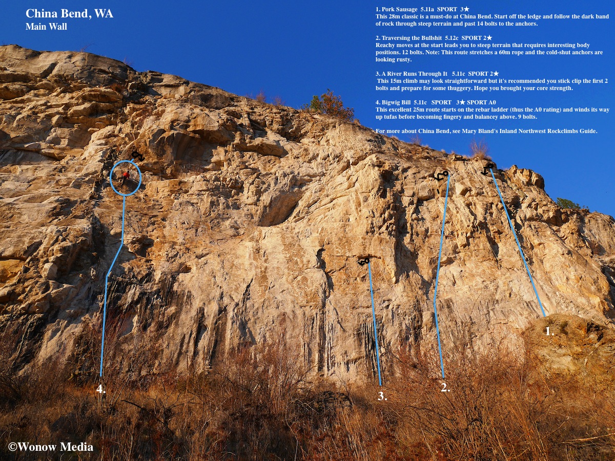
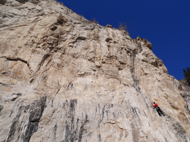
Keith Robine warms up on the über-classic Pork Sausage, 5.11a

Keith Robine warms up on the über-classic Pork Sausage, 5.11a

I’ve had the good fortune to climb at some of the world’s most famous limestone crags including Kalymnos in Greece, Potrero Chico in Mexico, Railay Peninsula in Thailand and Vinales in Cuba. And while all these locations offer epic sport cragging on tufas and stalactites, they also involve a lot of cost and effort to get to. This shoulder season I found myself longing for a trip to a warm destination that features fun limestone climbing – but time and money were lacking.

So instead I drove the 2 hours from my home in Nelson, BC, to China Bend – the Kootenay’s answer to Kalymnos. The date was November 16 and the thermometer read -12°C when I awoke at 7am. Not exactly inspiring climbing temps. But my Rossland friends had assured me China Bend (which is located 30 minutes south of Rossland in Washington State) was a rock oven and that we’d be climbing in light jackets all day. They were wrong. We climbed in T-shirts.

A shirtless (in November!) Jesse Brown on Big Wig Bill, 5.11b

A shirtless (in November!) Jesse Brown on Big Wig Bill, 5.11b

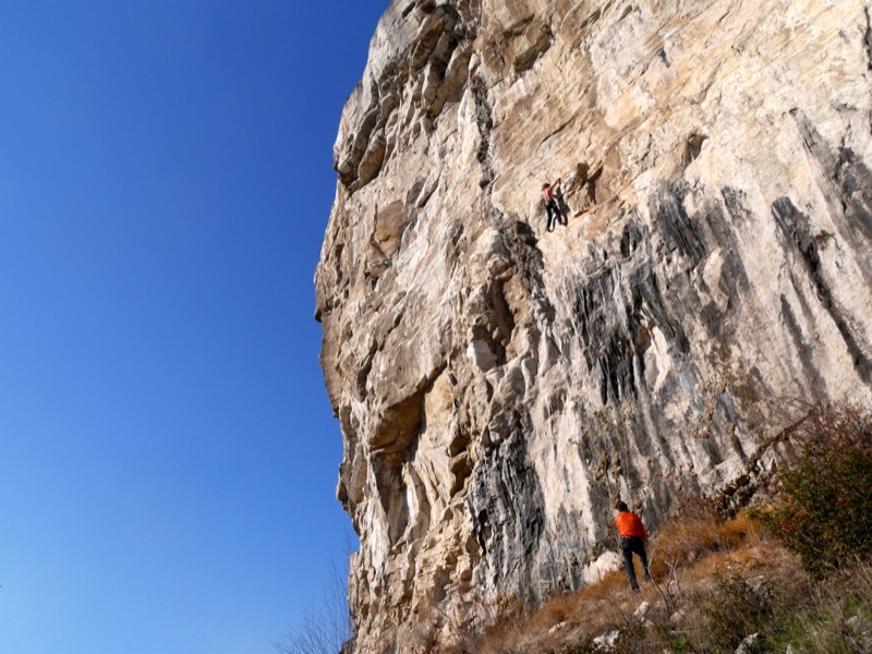
China Bend is a unique limestone rock formation located about 50 kilometres south of Rossland on the shores of the Columbia River. It is an overhanging, south-facing cliff that acts as a solar oven on sunny days, making it unbearably hot in the summer months. In fact, the cliff is closed from mid-February to mid-July to protect raptors that nest there. But when the weather is cooler everywhere else, you can guarantee China Bend is going to be warm.

When Jesse Brown, Keith Robine and I parked at the pullout on China Bend Road at 10:30am, the car’s thermometer read -5°C. But by the time we completed the 10-minute hike up to the main cliff, we were sweating.

The author on the tofu-pinching classic A River Runs Through It, 5.11c

The author on the tofu-pinching classic A River Runs Through It, 5.11c

Over the course of the next five hours of sunshine we hopped on four different routes, all of them excellent quality. (See topo map above.) The one thing everyone should know about this area, however, is that the majority of the routes are steep and hard. It was established by Marty Bland and friends, all of them 5.13 climbers, and even some of the “warm-up” 5.11s felt like .12s. (Apparently there are some 5.10s on a smaller crag to the east of the Main Wall but they’re not worth travelling to the area for.) There are 40+ routes on the Main Wall alone and most fall into the 5.12 range although there are a few 5.13s and 5.14s as well.

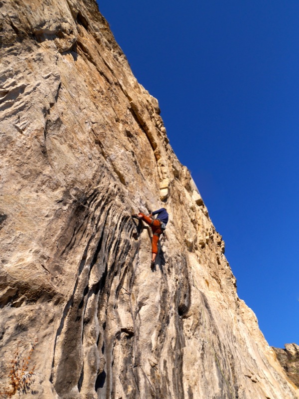
If you’re looking to improve your stamina and style, though, this is the place to do it. Many routes are 30-metres long and overhang 3 metres. They involve tufa pinching, roof pulling and delicate crimping – basically every style of movement you’ll find at the world’s best limestone crags except there aren’t any stalactites to rest on here.

If you’re interested in visiting China Bend this winter (seriously, you can – both Keith and Jesse have been there in late January) here are directions: From Rossland take BC-22 south to the Paterson border crossing. (Remember to bring your passports!) Once in the United States, drive WA-25 south towards the community of Northport for 11km and just before you cross the bridge,  turn right onto Northport Flat Creek Road. After 21.5 km, turn left onto China Bend Road and drive this for 2.4 km. Park at the pullout on the right and the trail is on your right leading up to the crag.

For more information about China Bend, check out Marty Bland’s guidebook called Inland Northwest Rockclimbs.

Sol Mountain Lodge’s Other Backcountry Season

The Backcountry Ski Canada crew are at the Sol Mountain Lodge in the beautiful Monashee mountains near Revelstoke, British Columbia, to take part in their season, which is in full swing right now.

Before you begin to wonder just how this is possible in the middle of September, let us clarify that it’s the midst of their mountain biking season. Sol Mountain is one of the only backcountry lodges in Western Canada that has purpose-built singletrack riding during the summer months and we’re going to be sessioning all of their trails over the next few days.

For the entire story about Sol Mountain Lodge, go to Backcountry Skiing Canada.