Tag Archive for: trad climbing

3 Things That Will Make You Climb a Grade Harder This Year

A few years ago, while on a trip to the climbing paradise of Kalymnos, Greece, I was loaned a copy of Arno Ilgner’s The Rock Warrior’s Way. It immediately made an impression because, unlike other training manuals I had read with their “do finger pull-ups until you weep” advice, Arno’s book dealt with the mental aspect of climbing.
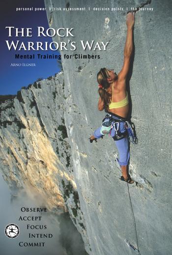
In my opinion The Rock Warrior’s Way (Desiderata Institute, 2003) is a must read for any rock climber, if for no other reason than the practical tips it provides. Granted the start of the book can get a bit “new-agey” with its talk of “becoming conscious” and “manifested energy” but after Chapter 2 there’s a wealth of knowledge that will help improve your mental fitness for climbing.

I’m living proof the techniques suggested in Ilgner’s book work. During that trip to Kalymnos I went from struggling up 6c to confidently leading 7c by incorporating the three things listed below into every one of my climbs. Today, I still use these techniques and I promise that if you do too, you’ll climb a grade harder this season. (Of course, you need to get out and climb too. Sitting on the couch and ruminating about these points will not levitate you up the walls.) Happy climbing!
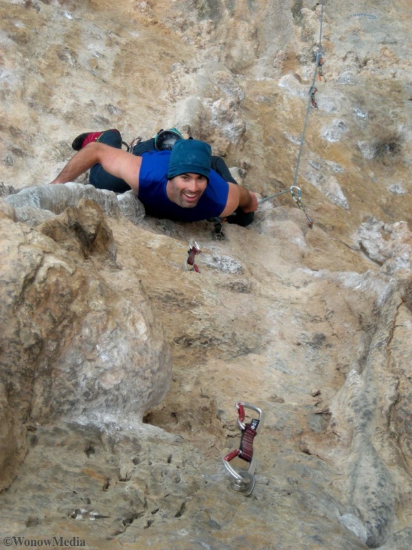
#1. Smile before every climb

Whether it’s a warm-up jaunt on a 5.7 slab or a 5.12 offwidth project, take a moment before beginning any route to smile. The idea is to get into a headspace that is relaxed but conscious. Sure that 15-foot roof looks daunting but if you pause to smile, you’ll remember just how much you love this sport. Alternatively, that 5.5 you’re putting up for your punter friend might seem boring but if you smile beforehand, guaranteed you’ll enjoy it more. Oh, and you look better when you smile. (And climbing’s all about how good you look anyway.)
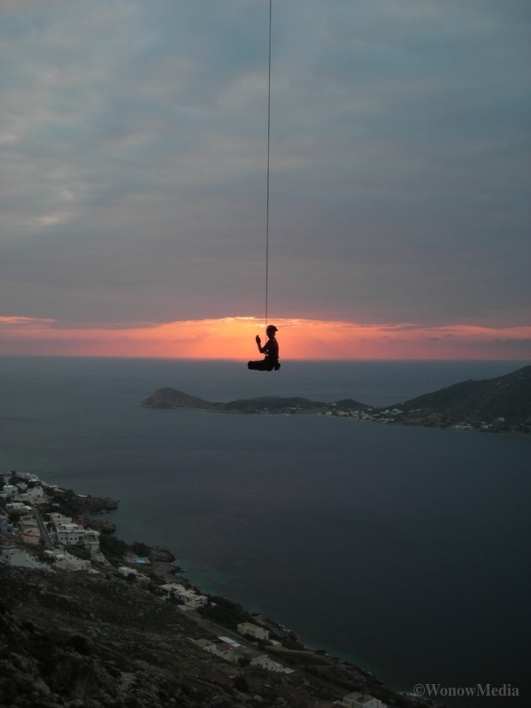
#2. Exhale

You hear belayers shouting to their trembling rope guns all the time: “Keep breathing man!” What you don’t hear is specific advice about how to breathe. So here it is: Breathing is a two-way process and in order to benefit from a great intake of fresh oxygen, you must expel all the air in your lungs first. If you’re nervous on a route, or you’re about to tackle that crux section, exhale all the breath out of your lungs – blow out through your mouth and then use your diaphragm to push out the last puffs of air. After that you’ll be forced to fully inflate your lungs and all that sweet oxygen will help calm you and feed your gunned forearms. Remember: when your belayer yells “breathe” what he’s really saying is “exhale everything man!”
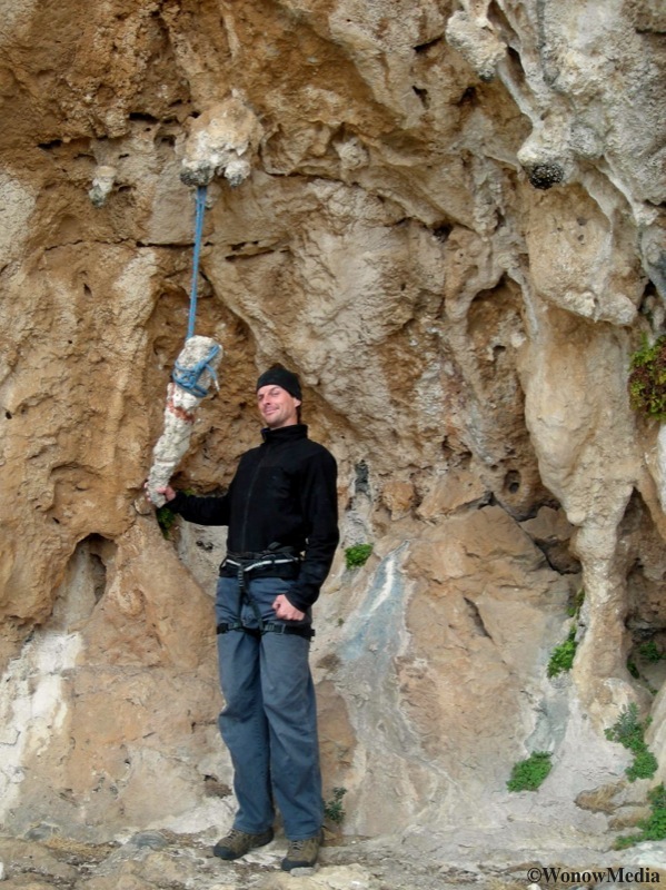
What would you name this hold?

#3. Name it. Don’t judge it.

As climbers we do this all the time when offering beta: “So you crimp off that nasty edge and then throw for the heinous sloper before reaching the ‘thank Jesus’ hold.” Wonderfully descriptive? Yes. Technically accurate? Not in the slightest. What we focus on in statements such as that one are the judgments – “nasty,” “heinous” and “thank Jesus” holds. Try this instead: the next time you’re scoping a route, offering beta or contemplating the next 10 feet of a climb, name the holds for what they are: “Reach for the three-finger crimp with your left hand, bump your right to the palm-sized sloper and then deadpoint for the large ledge.” By sticking to the technical descriptions of what you observe, you’re no longer obstructed by judgment. Instead you’re concentrating on exactly which areas of your hands and feet are going to be making contact with the rock at certain times. (Or, in the case of the route “Max Headroom” in Skaha, what part of your head is going to be shoved into the rock at what times.)

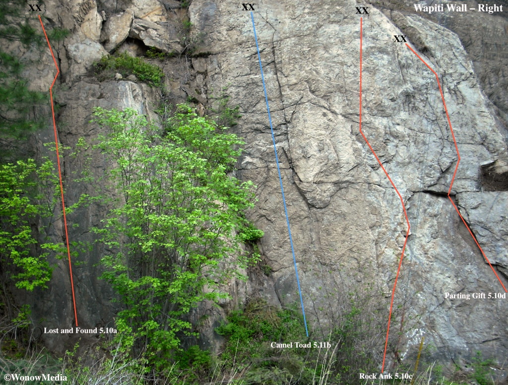
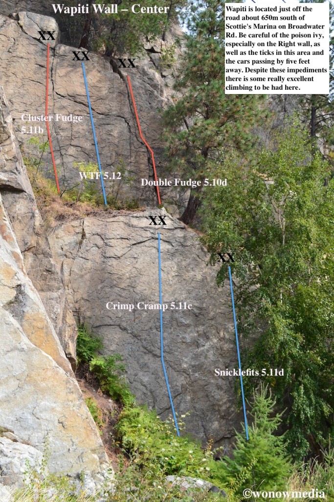
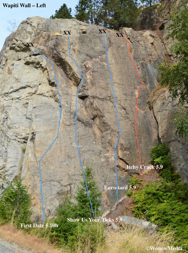
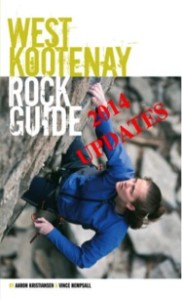
Wapiti Wall Rock Guide Updates

For further descriptions about climbs in the Arrow Lakes area near the community of Castlegar in south-central British Columbia, Canada, refer to page 19 of the West Kootenay Rock Guide. Access: This wall has, arguably, the easiest access in the Kootenays. (The name comes from the Cree word for “elk.”) It is located 650m south of Scottie’s Marina. You can’t miss it as you drive towards Scottie’s because the wall is so close to the road it’s practically on it. For parking, the best option is to do a U-Turn at Scottie’s, drive back to the wall and use the narrow pullout on the lake side of the road. There are three separate walls here with 14 climbs on them. Please note, Parting Gift has been overrun with poison ivy lately. Directors of TAWKROC will be dealing with it soon but in the meantime, please avoid any plants with “leaves of three.”

The Wapiti Wall Rock Guide Updates: This is the tenth in a regular series showcasing the new rock climbing routes in the West Kootenay Region of south-central British Columbia. For written descriptions of these and other routes, download the West Kootenay Rock Guide updates.

The Ant Hill Rock Guide Updates

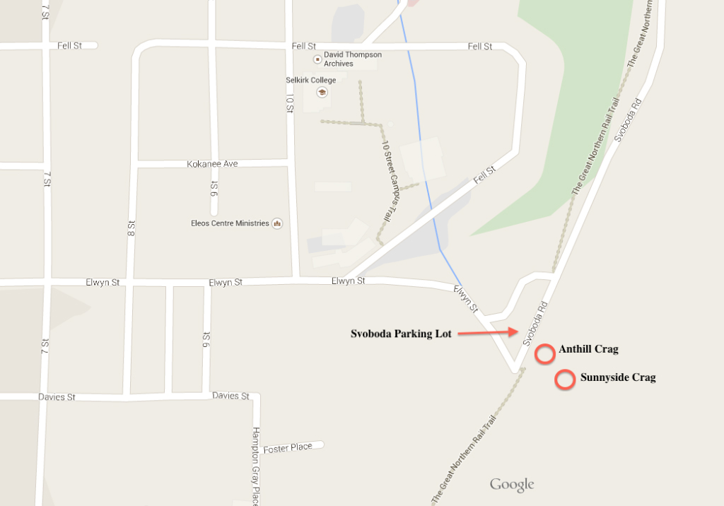
For further descriptions about climbs at the CIC Slabs area in the city of Nelson in south-central British Columbia, Canada, refer to page 61 of the West Kootenay Rock Guide. Access: The Ant Hill is located just below the Sunnyside Crag near the West side of the Svoboda parking lot. (See page 67 of the West Kootenay Rock Guide for a description on how to reach the Sunnyside Crag). This is a good wall to take your young kids to because it’s easy to walk to (it’s only 40 feet away from the parking lot), the anchors are easy to reach from above and it offers the only documented 5.2 in the area.


The Ant Hill Rock Guide Updates: This is the ninth in a regular series showcasing the new rock climbing routes in the West Kootenay Region of south-central British Columbia. For written descriptions of these and other routes, download the 2014 West Kootenay Rock Guide updates.

This shows where you can find the Svoboda parking lot in Nelson and where Sunnyside and Ant Hill are located in relation to it.

Yellow Sling Wall Rock Guide Updates

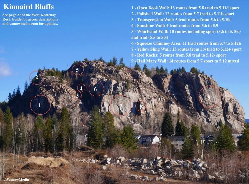
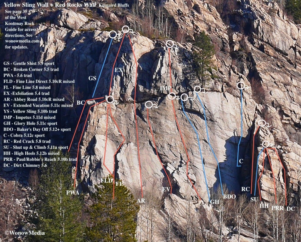
For further descriptions about climbs at the Kinnaird Bluffs area in the community of Castlegar in south-central British Columbia, Canada, refer to page 27 of the West Kootenay Rock Guide.

Access: See page 35 of the West Kootenay Rock Guide for a description on how to reach the Yellow Sling Wall and Red Rocks Wall from the Kinnaird parking area. This wall is an excellent early/late season one but tends to be a solar oven in the height of the summer. It offers everything from 5.4 trad to 5.12+ sport and the four pack of Extended Vacation, Yellow Sling, Glory Hole and Bakers Day Off are definite must-dos. However, note that the last two are 28m long and you’ll need 14 quickdraws for Glory Hole.

As with all climbing at Kinnaird, please be respectful of the nearby neighbours – these walls act like natural amphitheaters and every word you utter can be heard with surprising clarity by nearby residents. Also, do not cut through anyone’s yard or property to access the crags.

Yellow Sling Wall Rock Guide Updates: This is the eight in a regular series showcasing the new rock climbing routes in the West Kootenay Region of south-central British Columbia. For written descriptions of these and other routes, download the West Kootenay Rock Guide updates.

This overview of Kinnaird Bluffs shows Yellow Sling Wall and Red Rocks wall in relation to the seven other walls at this area.

Hall Siding Rock Guide Updates

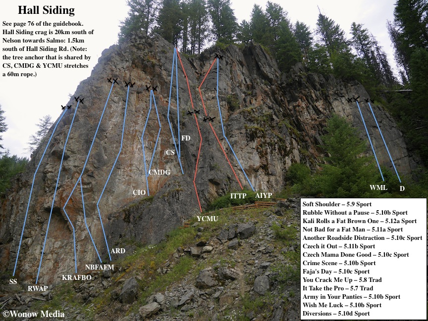
For further descriptions about the climbs at Hall Siding between Nelson and Salmo, British Columbia, refer to page 76 of the West Kootenay Rock Guide. Access: Hall Siding is located 20km south of Nelson towards Salmo. (Note: The WKRG erroneously stated the crag’s position in relation to Hall Siding Road – it is, in fact, 1.5km south of the road.)

Hall Siding Rock Guide Updates: This is the sixth in a regular series showcasing the new rock climbing routes in the West Kootenay Region of south-central British Columbia. For written descriptions of these and other routes, download the 2014 West Kootenay Rock Guide updates.

New Access at Koch Creek Climbing Area

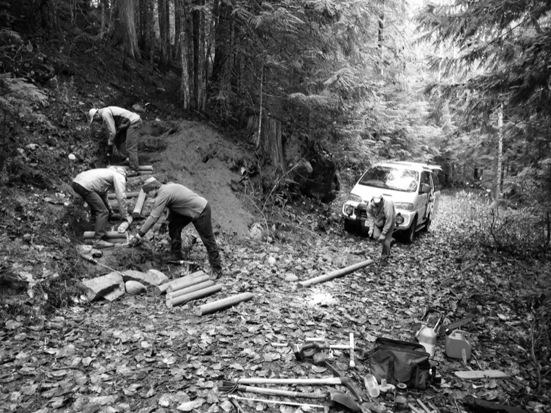
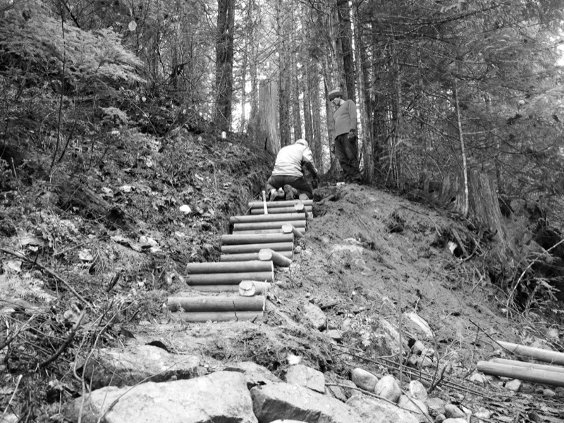
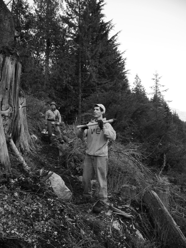
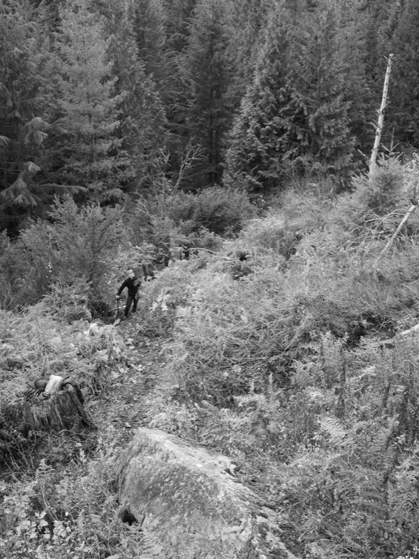
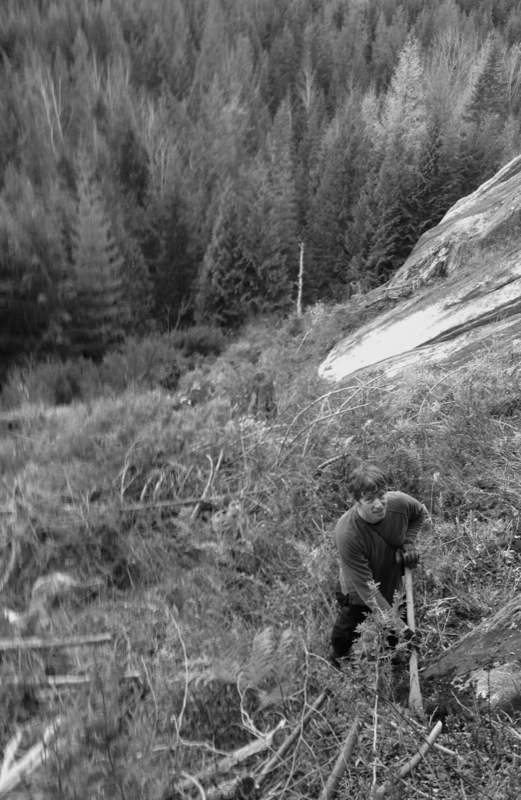
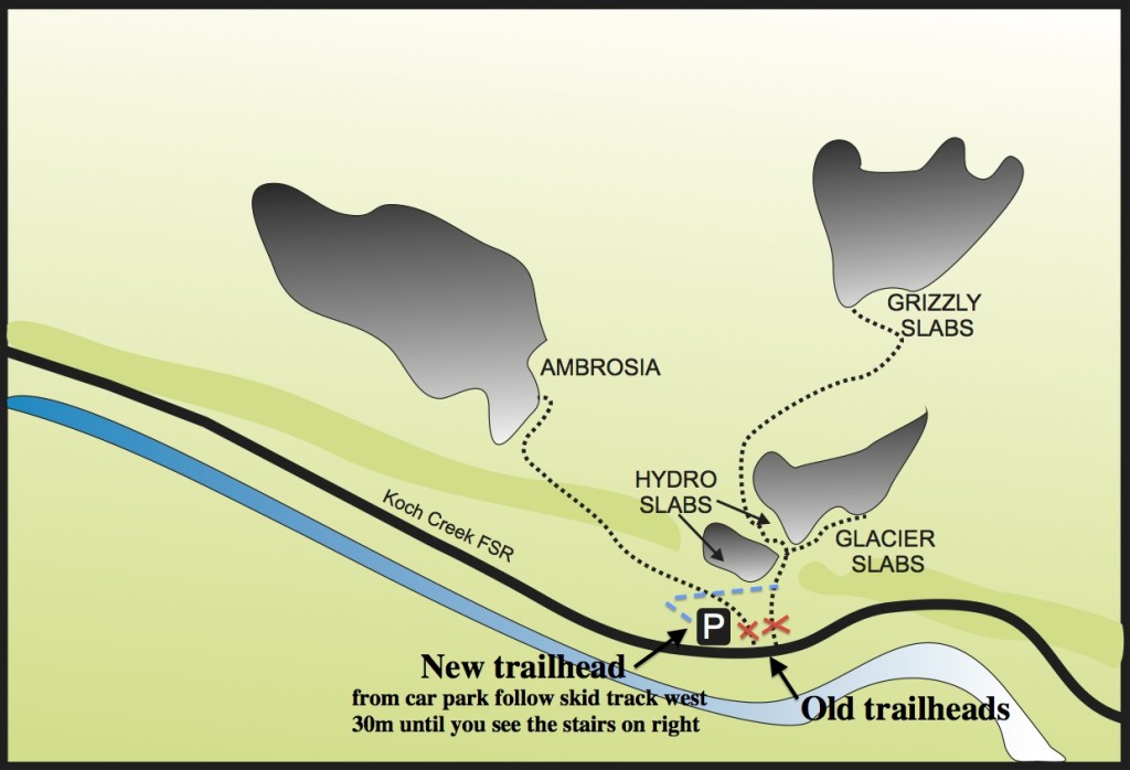
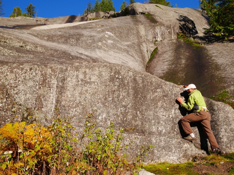
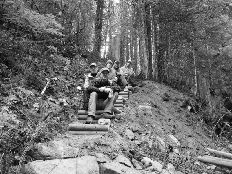
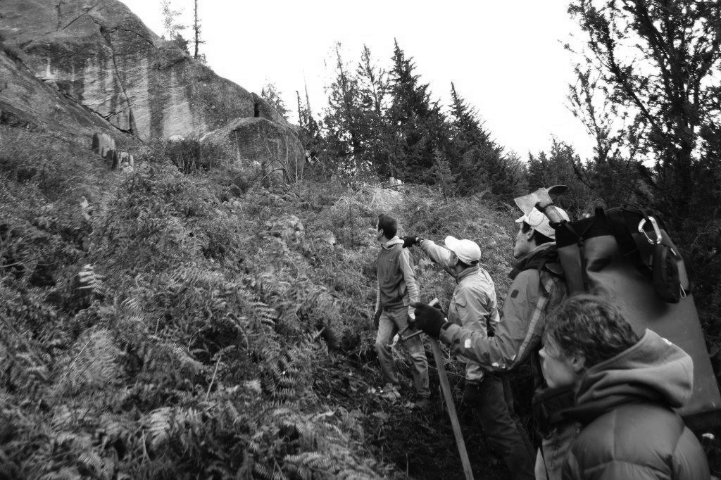
There’s something so satisfying about improving access to a climbing area – even one that hasn’t seen a lot of traffic in the past decade. Last Sunday myself and six other volunteers enjoyed some late-autumn sunshine at the Koch Creek crags in the Slocan Valley (about an hour drive from Nelson & Castlegar) and built a new access trail. It was part of a joint CASBC/TAWKROC Adopt-a-Crag day and we moved the trailhead so climbers would no longer have to walk the road. We also built stairs up to the new trail, brushed the encroaching foliage, dug steps, carved switchbacks and cleared blow-downs. Here are some pics from the day:

The volunteers for the day included David Lussier, Bob Sawyer, Khaled Ben-rahba, Craig Stowell, Hannah Roy, JT Croston and me and together we cut in about 500m of new trail.

\

Directions for the new trailhead are as follows: from the parking area walk west for 30 metres until you see the stairs on your right. Take these to the path and then follow up until you reach a small rock face (there are no routes here). Continue east along the trail, through the switchbacks and the next rock wall you come to is Lower Hydro Slab and the two crack climbs Flying Lichen Crack (the 5.8 on the left) and The Grunge (the 5.11c on the right). From here continue east until you come to a prominent dead stump and fork in the trail. Go further east to reach Upper Hydro Slab and Glacier Slabs or turn west and scramble up the narrow ravine between the slabs to the next trail on the left, which will lead you to Grizzly Slabs. To reach Ambrosia, walk the skid track from the parking lot (ignore the stairs) to its end where you’ll pick up a flagged trail. Follow this for ~10 minutes to the base of the route.

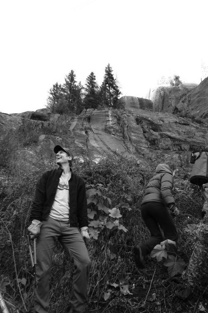
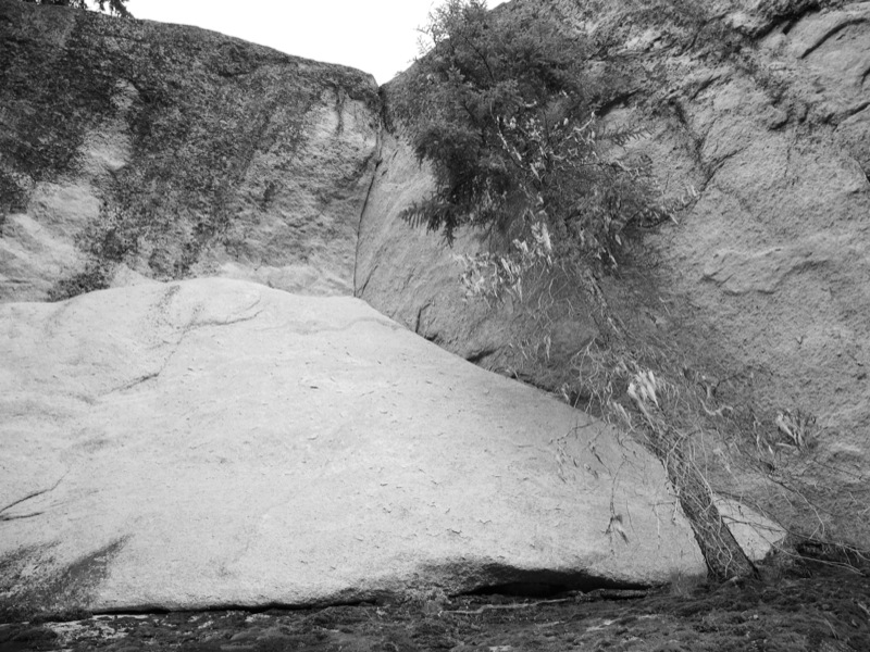
There are 19 routes at Koch Creek and many are excellent crack climbs, including the fun Leaning Corner (5.11b) pictured in black and white below. There are some excellent slabs as well, including the three-pitch classic 5.8 mixed route Ambrosia (seen below in colour – Dave Lussier is poised at the start of it).

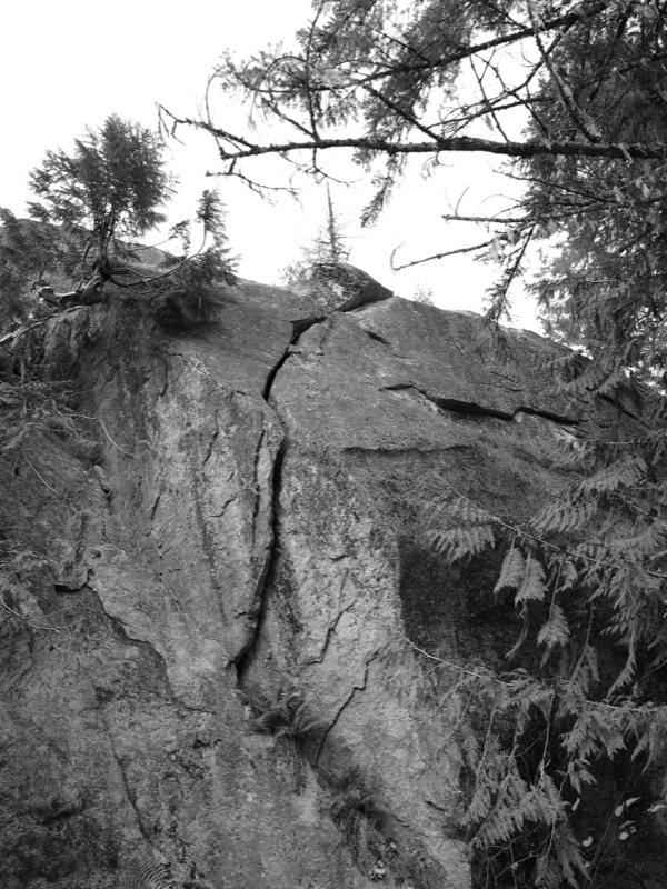
There is also plenty of potential at Koch Creek. Just 50m east of the parking lot is a huge boulder tucked into the trees on the north side of the road. And then there are cracks like the one below that still have yet to see a first ascent:

In the Spring of 2015, the TAWKROC volunteers will again return to Koch Creek to continue trail-building efforts and to scrub the routes and retrofit anchors and hardware, some of which have been there since the early 1990s. For more about Koch Creek, check out page 113 in the West Kootenay Climbing Guide.

The TAWKOC volunteers enjoying a beer after a hard day’s work: Vince Hempsall, Bob Sawyer, Craig Stowell, David Lussier and Khaled Benrhaba.

The TAWKOC volunteers enjoying a beer after a hard day’s work: Vince Hempsall, Bob Sawyer, Craig Stowell, David Lussier and Khaled Benrhaba.


New Route in the Valhallas is one of the Hardest


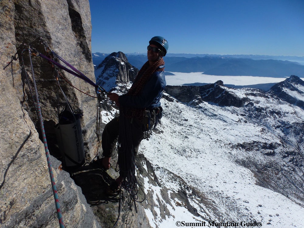
For the past three years David Lussier of Summit Mountain Guides and I have projected a new route on the little south face of Gimli Peak in the Valhalla Mountains. It’s a line that’s noticeable from afar and we thought the corner crack on the upper headwall was going to be incredible. And it is. But it’s also seamed out and very, very hard. My favourite memory from all our attempts is Dave, while on lead, drilling one of the  bolts that’s required on the protection-less part of the 3rd pitch – he got tired and took his daisy chain and clipped himself to the drill bit that was still embedded in the rock…and rested! (Do not try that at home.)

A description of one of our attempts made it into Kootenay Mountain Culture magazine in my “KMC Rock Wars article” but the moves on the third pitch kept eluding us. Then, on October 7, Dave and Jason Luthy from Sandpoint, Idaho, successfully did the crux pitch clean. Here is a description of the route:

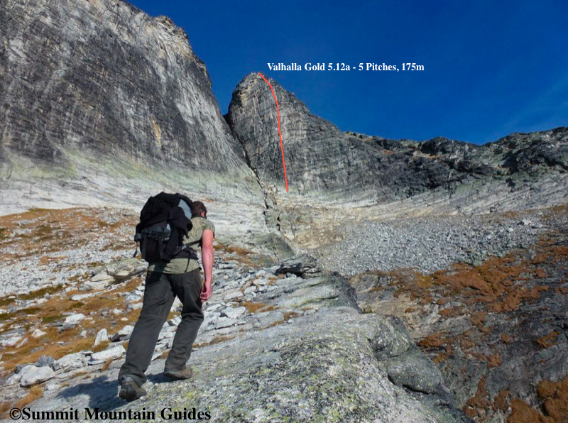
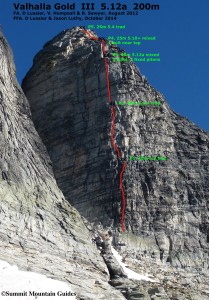
Valhalla Gold   5.12a
This climb is located on the shorter, south-facing wall that leads to the true Gimli summit. If you are looking at the prow of Gimli (the south ridge) it is the shorter wall back and to the right (east) where the descent route starts. Access: from the “beach” hike to the South Ridge route then traverse right (east) about 100m around the base. Scramble up a grassy (or snowy depending on the season) ramps towards the upper east-facing basin below Gimli peak. Ascend to the base of the East-facing couloir, seperating the upper south ridge and the main summit of Gimli. Take a double rack to #2s. All stations are bolted and it is possible to rappel the route with 2 ropes. P1: Start from a ledge 10m right of the gully separating the 2 summits of Gimli above a short green colored wall. Climb up following the prow of a broad grey buttress. (5.9 40m) P2: Climb up and left past a small pine tree and the left side of a 5m high detached pillar. Continue up and left to a beautiful hand crack in a shallow, right-facing corner and eventually a small overhang near the top. (5.10- 40m) P3: Climb the thin crack above passing a 2 fixed pitons. Continue up the steep wall following the thin crack past 5 bolts. Beautifully exposed. (5.12a 45m) P4: Climb up a right-facing corner with a small bolt-protected roof near the top. Harder than it looks. (5.10+ 25m) P5: trad. Climb up and left through easier ground to the summit. Beaware of large loose blocks. (5.4 25m) (FA: D Lussier, V Hempsall,  B Sawyer ’12. FFA: D Lussier, J Luthy ’14)

Vince at the 2nd belay

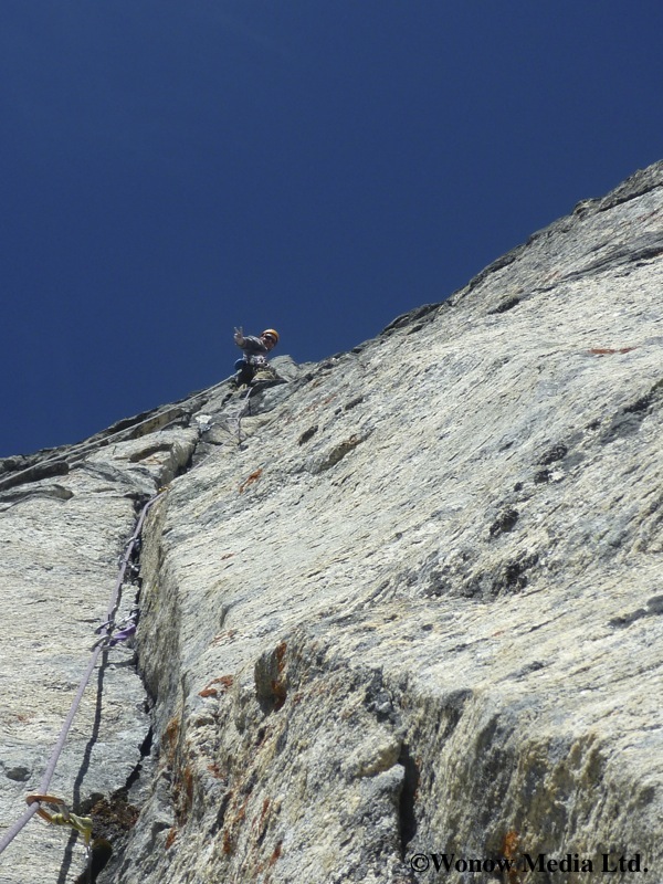
Dave on the crux pitch

Dave on the crux pitch

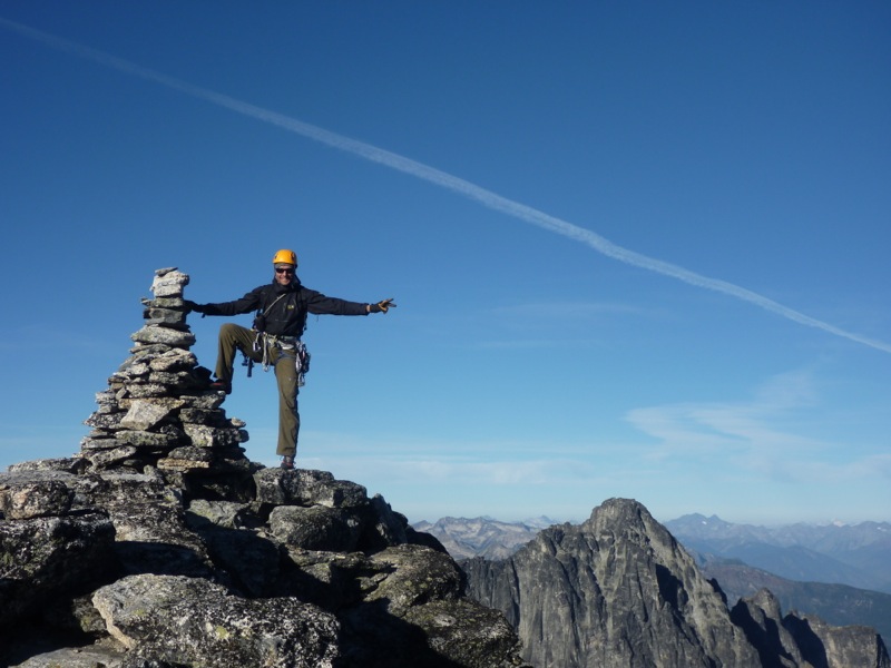
Dave at the summit

Dave at the summit

Whirlwind Wall Rock Guide Updates

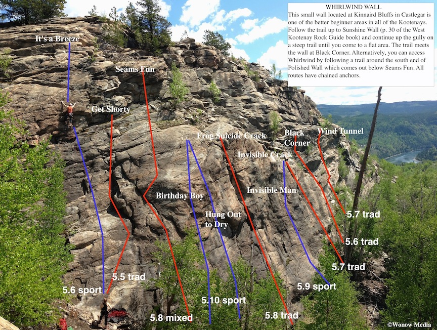
This is the first in a regular series showcasing the new rock climbing routes in the West Kootenay Region of south-central British Columbia. For written descriptions of these and other routes, download the West Kootenay Rock Guide updates.

2014 West Kootenay Rock Guide Updates

Wonow Media has announced the 2014 West Kootenay Rock Guide Updates are now available to download for free.

The updates include over 200 new sport, trad and alpine rock climbing routes from all over the West Kootenay region of South-Central British Columbia including Castlegar, Nelson, Slocan Valley, Arrow Lakes region and Ymir as well as beta on Grand Forks and Onion Creek in Washington State, just over the border from Rossland.

The free PDF download also includes a tick list of all 500+ routes in the region, from the 5.4 trad route “Exfoliation” at Kinnaird Bluffs to the 5.13 sport climb “A Delicate Push” at Kootenay Crag. What it does not include, however, is photo topo maps. Those will showcased in separate posts such as this one in the “rock updates” section of Wonow Media be available for retail in the coming months. If you have any corrections to these updates, please contact Vince Hempsall at: vince (at) wonowmedia.com. Click here to go to the page where you can download the free PDF.

5-Minute Yoga Routine for Rock Climbers

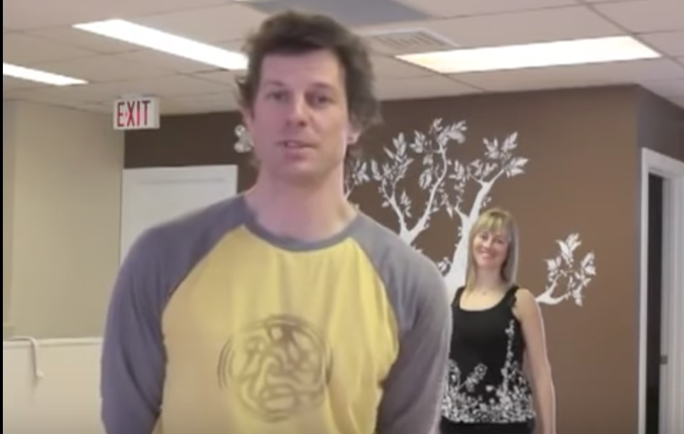
A few years ago I sat down with Nelson, BC, yoga instructor Trish Wilson and asked her what type of poses I should do as a rock climber. She came up with an entire routine for me and it was so good I asked her if we could film it so others could learn from it. She immediately agreed and a few days later we were in the studio.

The beauty of this particular yoga routine is it can take as little as 5 minutes to do. Obviously you’d prefer to spend a bit more time at it in order to stretch and strengthen key muscles but when the clock is ticking and your buddies are waiting to hit the crag, spend just 5 minutes at this and your body will thank you for it.