Rangers, Raptors & Revolvers – Busted in the Bend
A few months ago I wrote a blog about a magical land just over the border from Rossland where you can climb steep, limestone in a solar oven in winter. The area’s called China Bend and it features tufa-pinching classics in a south-facing setting overlooking the Columbia River.
What it also offers is a nesting sanctuary for raptors, which is why the US Park Service closes the cliffs from mid-February to mid-July.
Now, I support birds of prey and their evident need for privacy but I also like mid-winter climbing in a t-shirt, especially when the ski season sucks. And, frankly, when you hear “mid-February” isn’t there a bit of wiggle room there? Like, say, February 14th at midnight to February 16th at midnight? The answer, according to a gun-toting US Park Ranger, is a definitive no.
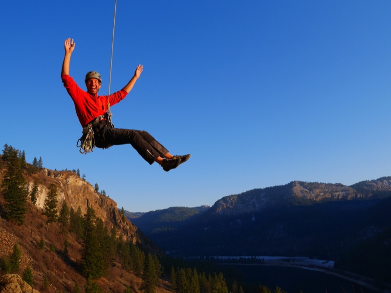
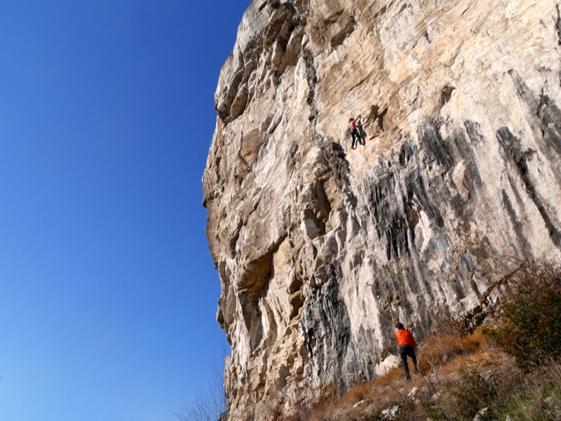
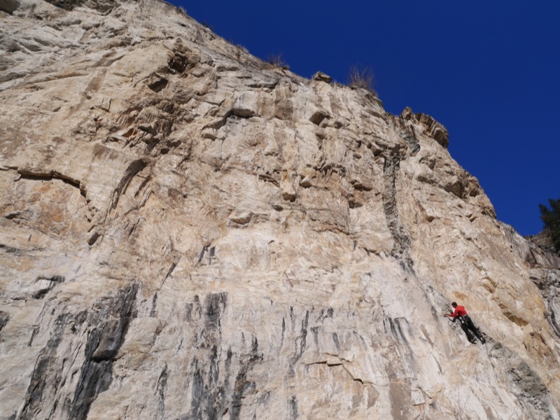
Five Nelson climbers decided to take advantage of an unseasonably sunny Sunday (February 15) and drive the 40 minutes south of Rossland to enjoy some early-season struggles with the 5.11 warm-ups at China Bend. We completely ignored the official looking sign at the pull out and put up ropes on the classic 5.11a “Pork Sausage” and the fun 5.11c “Where’s My Hero.”
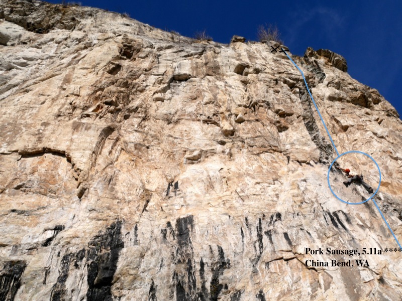
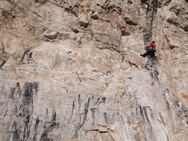
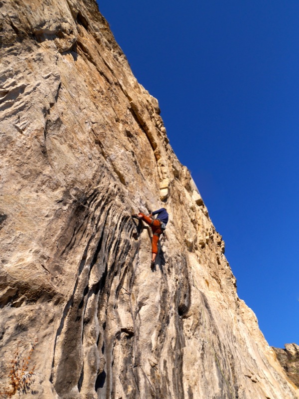
Cam Shute on Pork Sausage – right before the Pigs busted us!
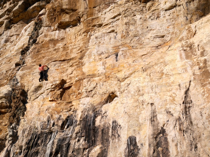
The latter climb is aptly named as 1.5 hours into our fun we were looking for a hero to rescue us from a park ranger packing a handgun, a taser gun and a canister of mace. (Evidently the wildlife are bad-ass in the USA.)
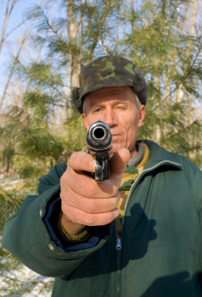
Thankfully ranger Matt Smith was a nice guy and allowed us to take down our ropes before escorting us away from the cliff and back to our car. He decided to forego the $125 fine (each!) we should have received for disobeying the raptor closure but he did run our driver’s licenses through his SUV’s dashboard computer. “Good news – you’re not wanted by Interpol,” he later told us. (We never did learn if he was joking or not.)
Interestingly, when we asked what raptors nested in the area, Matt had no idea. I guess they’re not wanted by Interpol either.
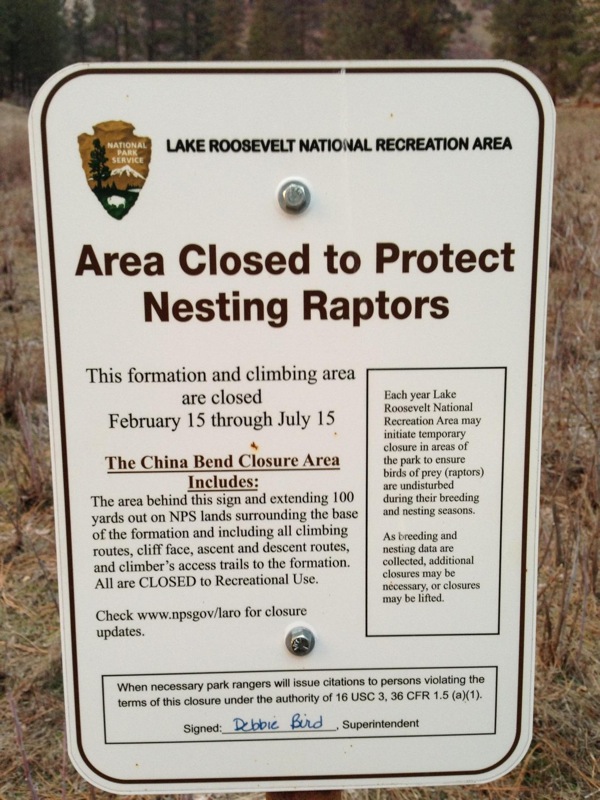
So let this be a lesson to all those Canuck climbers wanting to visit China Bend – the raptor closure is, definitely, Feb 15 to July 15 and there are Park Rangers there to enforce it.
If you’re looking for some alternative Washington areas that aren’t far from the border, consider Metaline Falls and Marcus (both featured in Marty Bland’s Inland Northwest Rockclimbs guide) or Onion Creek, which is featured on this site. The latter tends to be more shady and damp than the others though so it’s probably not a great mid-winter destination.
For more information about China Bend, pick up a copy of Marty’s guidebook mentioned above or check out November’s blog post.
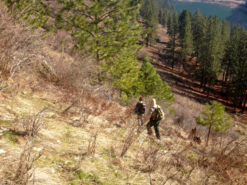
US Park Ranger Matt Smith escorts us away from China Bend.